
Author: Friends of Cascade-Siskiyou National Monument

Nature Day Camp – A Success!

September 7, 2022

As the long summer days slowly wane, the Friends of the Cascade-Siskiyou National Monument summer K-12 educational program has also come to a close. We are thrilled by the success of our very first season of Nature Day Camps in partnership with The Crest at Willow-Witt and BLM’s Medford District. Between June-August 2022, we offered nine full-day environmental education programs at two different sites within the Cascade-Siskiyou National Monument. In total, our Interpretive Rangers served over 200 local Kindergarten – 6th grade camper Monument Days! Participating students traveled from all over the Rogue Valley to join us at the Greensprings Mountain Loop and Hobart Bluff trails, including places as far as Eagle Point and Northern California.

Friends Executive staff, Board Members, and Interpretive Rangers recently met with lead staff and educators from The Crest to celebrate our educational accomplishments for the year and to discuss potential improvements to our “Monument Days” for next year. We look forward to planning new program sites, new lesson themes and topics, and to increasing our capacity to connect with additional local communities in future.

Words by Interpretive Ranger Elizabeth Mackey.

Scenic Jenny Creek

June 24 & 25 Hike and Learn

A group of us had the pleasure of learning from Tim Montfort, a long time Hydrologist with the Bureau of Land Management. He presented on the acquisition and extensive restoration work of the former Box O’ Ranch. Jenny Creek, a tributary of the Klamath flows through the site and is the main focus of the restoration work. Over years the ranch sustained damage from continuous cattle grazing which degraded the meadows and riparian habitat. Once the BLM acquired the property, restoration work quickly began recontouring the stream, removing ditches, and replanting riparian vegetation. The Soda Mountain Wilderness was designated in 2009 fully encompassing and further protecting the site. In 2019, Jenny Creek was designated as “Scenic” under The Wild and Scenic Rivers Act. These numerous protections help preserve this fragile and diverse ecosystem as refugia for The Jenny Creek Sucker and other important species.

After our Friday evening talk, we ventured out on a hot Saturday in June to visit the site. Tim took us on a tour of the many obvious historical elements present there, barns, farm equipment, and now remediated irrigation ditches. We visited the banks of Jenny Creek to observe lush patches of Willow, Oregon Ash, and Ponderosa Pine. As we walked along, we compared before and after photos turning back time to examine how restoration truly works. It was amazing to witness the vast effort put in to restore and improve this landscape. A lot has happened in the last 30 years to see what we saw that day, and there is still more work to do. While not the most accessible site, if you are fortunate enough to visit, you can take in the sweeping meadows, interesting history, and rejuvenating Jenny Creek. While you’re there, close your eyes and imagine what another generation of conservation will have in store for this landscape.

Words and photos by FCSNM Board Chair Daniel Collay.

Porcupine Mountain

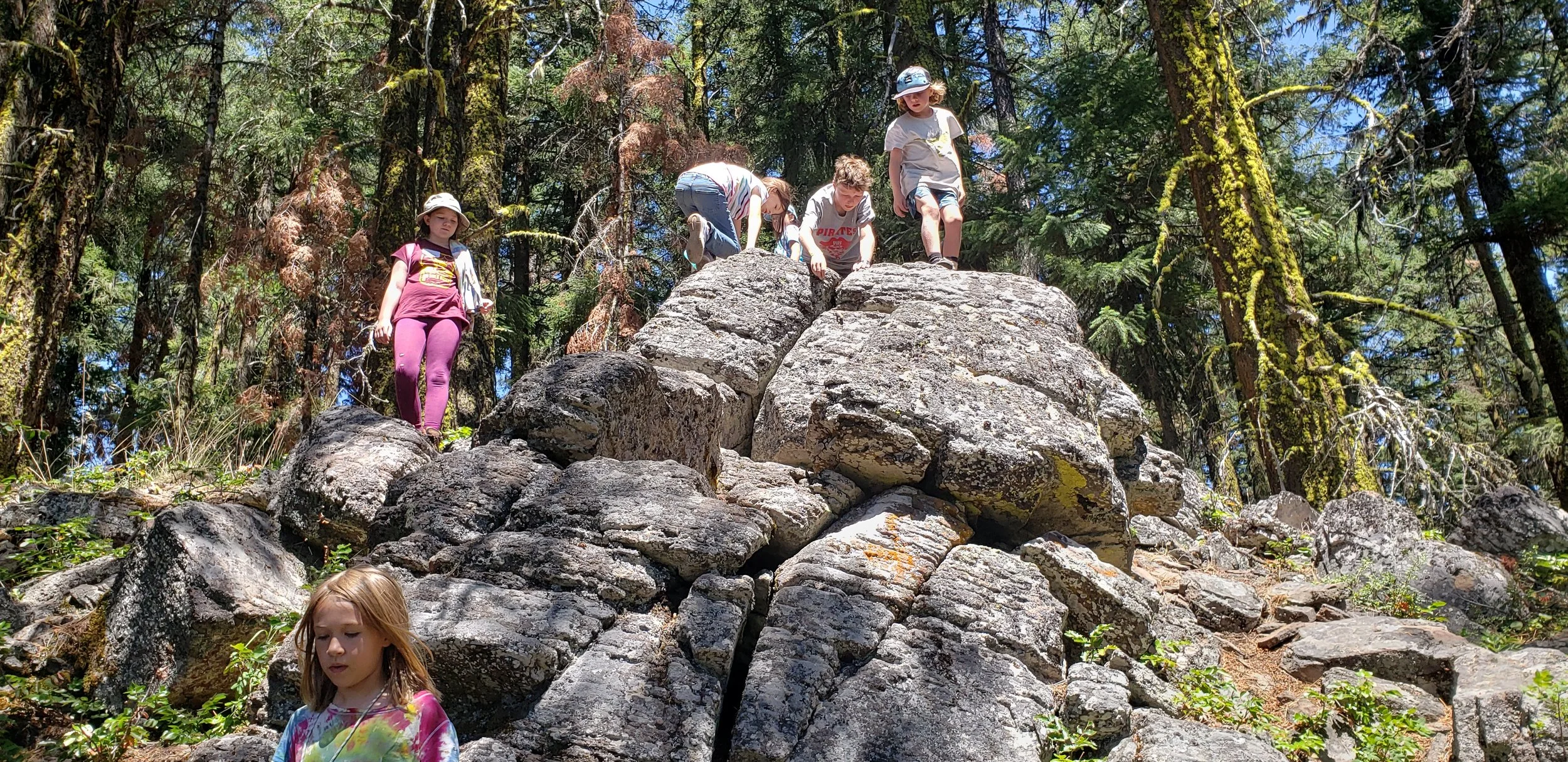
Sunday Hike #7 – Porcupine Mountain, 8/14/2022

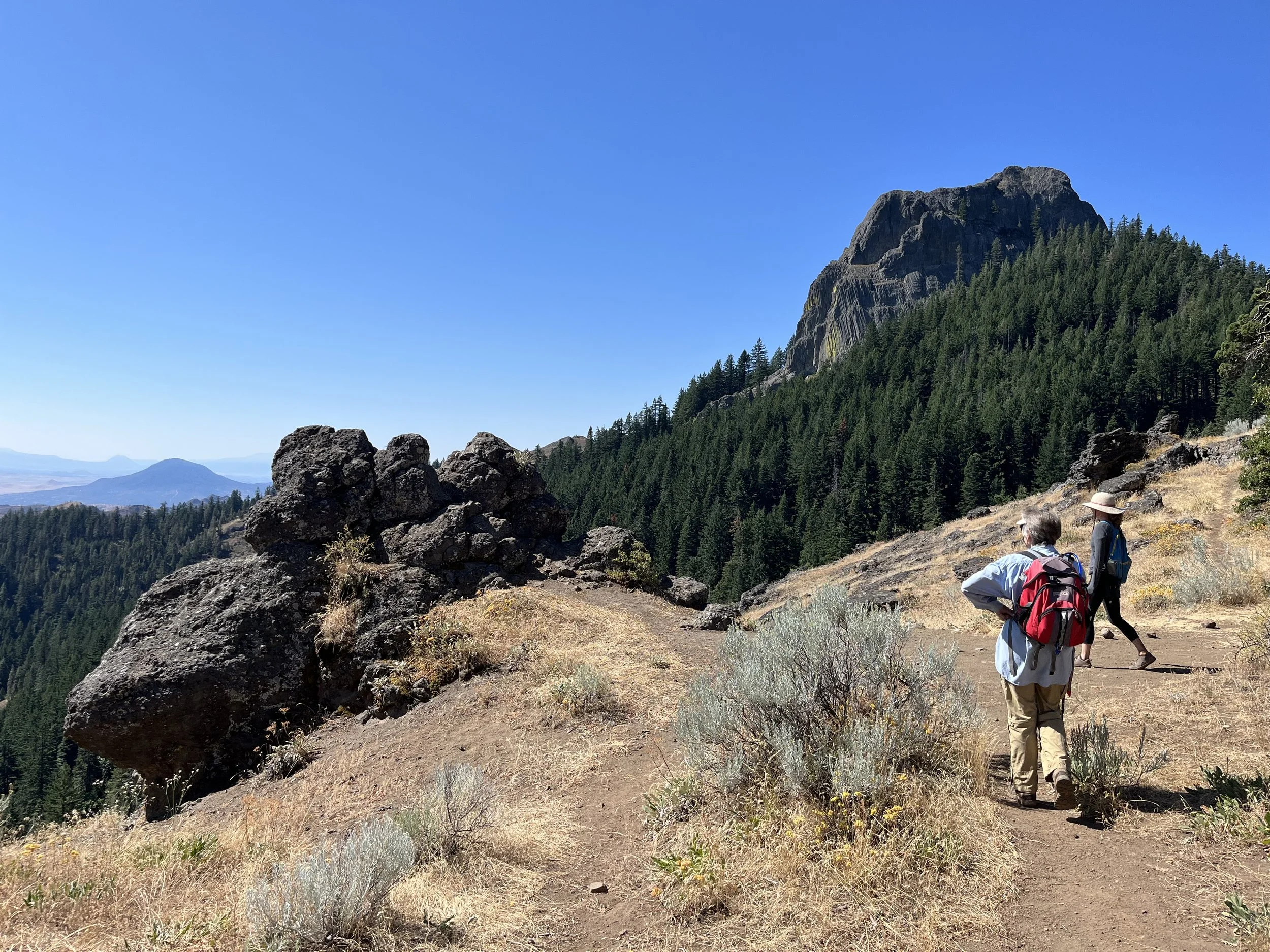
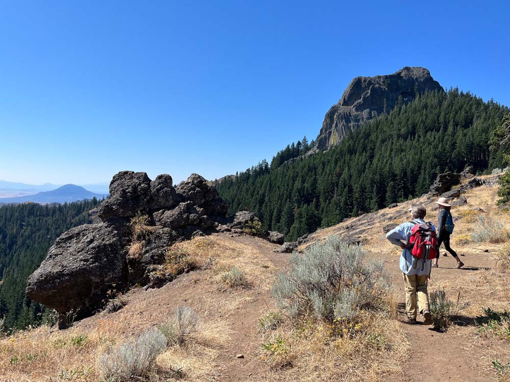
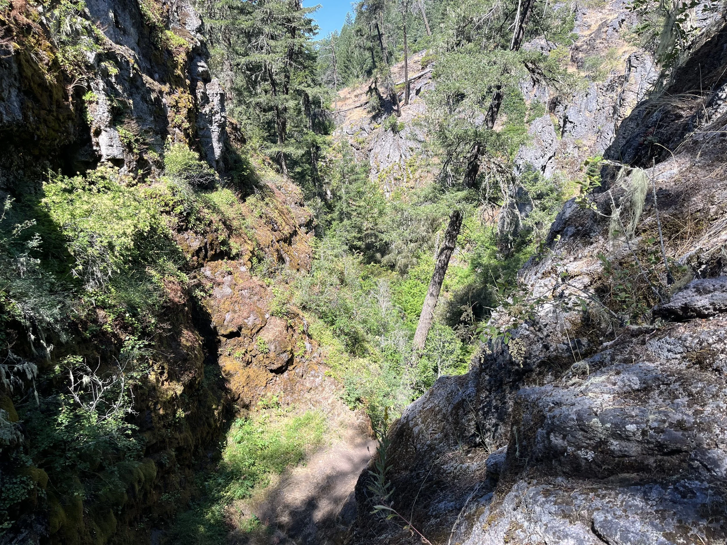
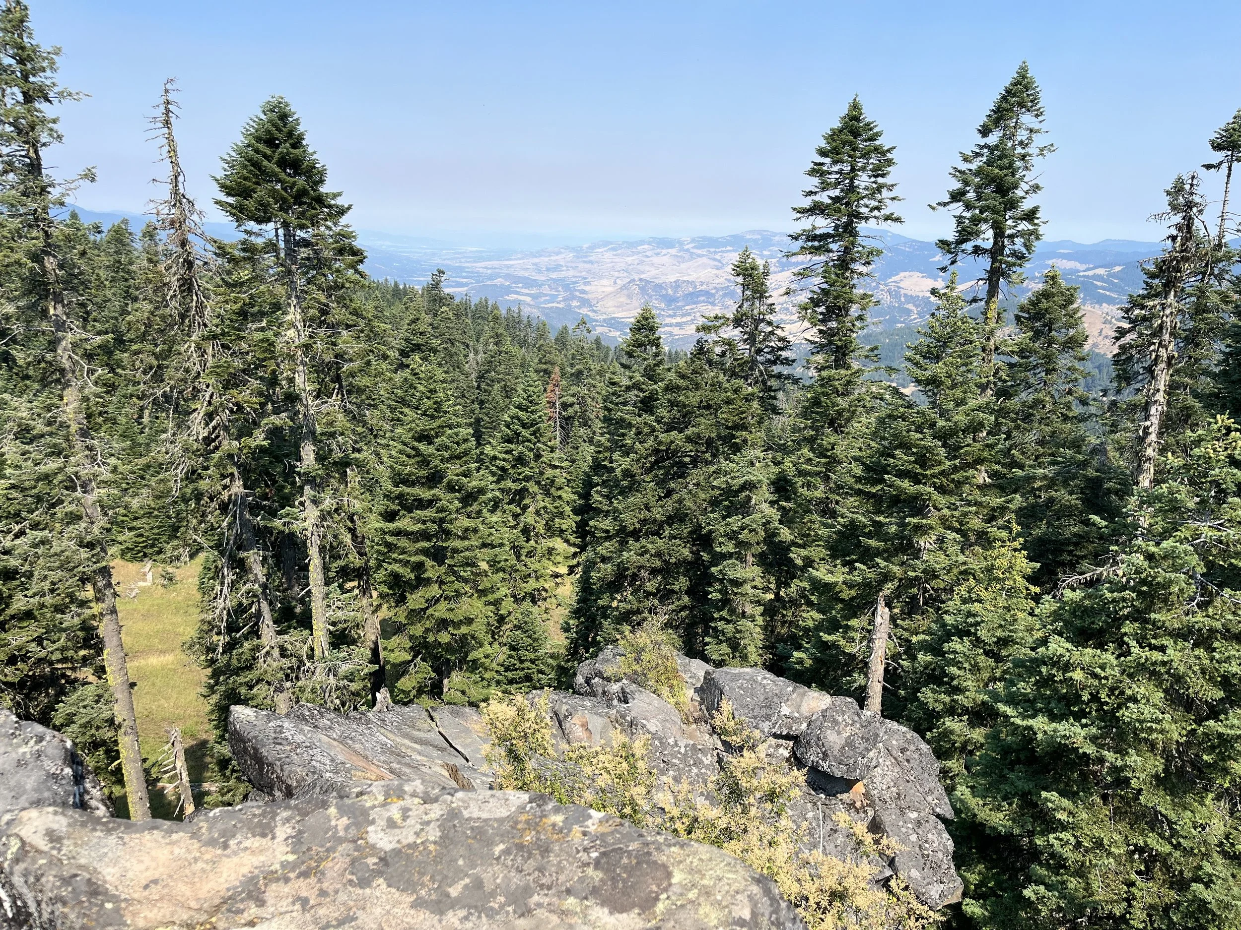
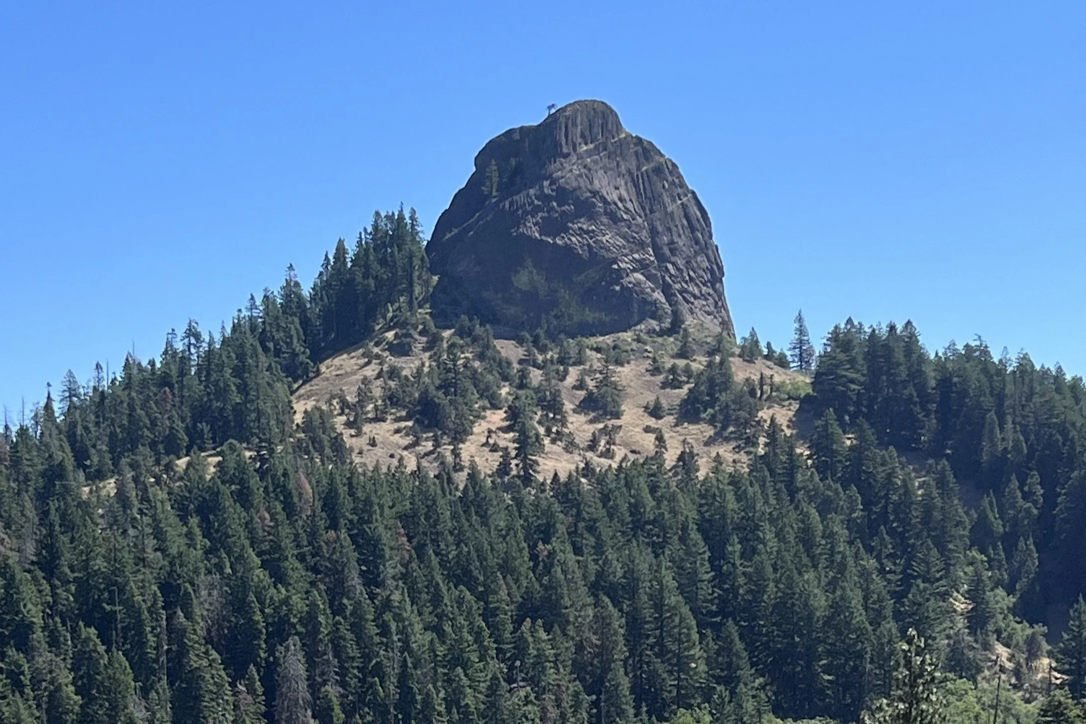
On our longest hike yet, we made it to the top of Porcupine Mountain, a lesser known peak tucked between Pilot Rock and Soda Mountain just outside of the Soda Mountain Wilderness Area. We started our journey at the Pilot Rock Trailhead, taking the spur trail to link up with the PCT and heading “north-bound” on the trail. After about 3 miles one way on the PCT, passing by the signed Porcupine Gap, we veered off trail, marked by a characteristic old juniper snag. Like Rhyolite Ridge (which we hiked a few weeks back) this hike requires a bit of off-trail navigation, this time along an old, decommissioned road to the plateaued summit.

The ascent to Porcupine Mountain isn’t too treacherous, but for some fallen logs, rocks, and brush piles used to make the road impassable to OHVs, which is important for the protection of the sensitive vegetation and lichens that populate this area. However, it’s much steeper than any sections of the PCT. Treading carefully, we hiked up to the summit, catching views to the south of Mt. Shasta and the Iron Gate Reservoir along the way. Once at the top, there are several viewpoints to take in. Continuing along the ridge-like summit, we were able to get 360 views towards Pilot Rock (our constant companion on this trail), Mt. McLoughlin, Soda Mountain, and all the spaces in between. We enjoyed our lunch with a view, and retraced our steps back to the PCT to get back to the trailhead, totaling about 8.5 miles!

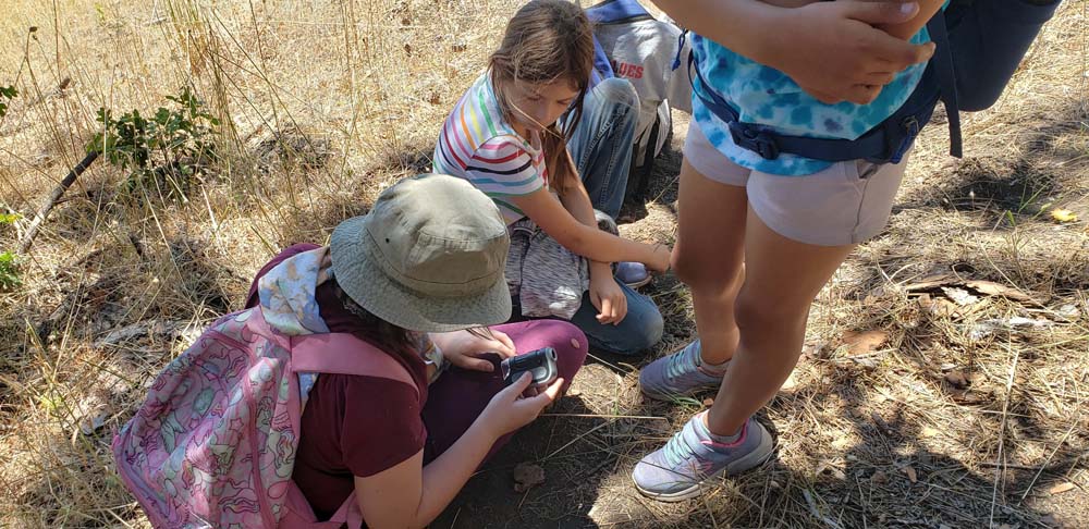
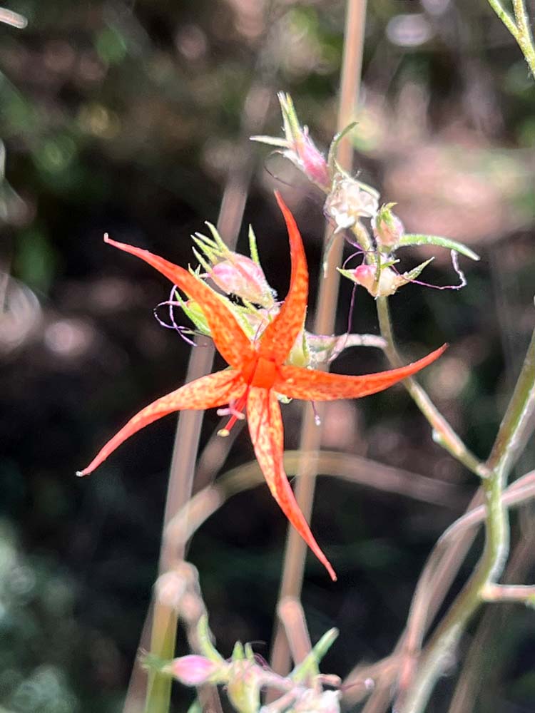
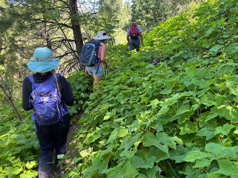
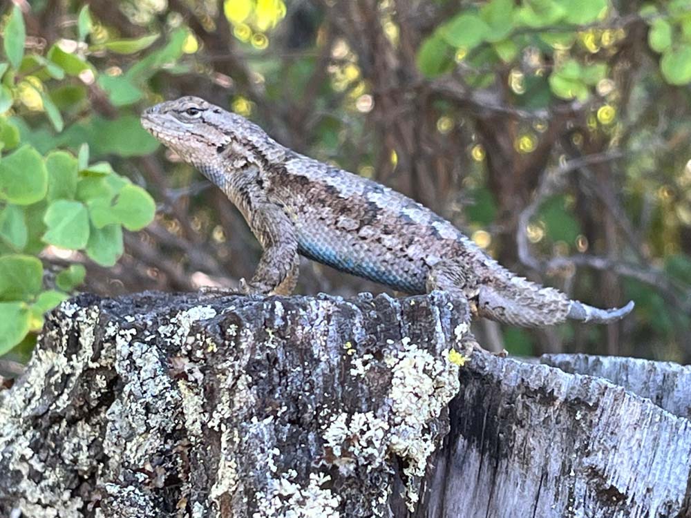
With August comes some signs of the approaching fall. Red Baneberry (Actaea rubra) with its bright red berries was plentiful in shady sections of the PCT. We enjoyed some thimbleberries (Rubus parviflorus) and noticed yellowed Western wild-cucumber (Marah oreganus) waning away. There were some marvelous old-growth Douglas-fir trees, as well as a few Incense cedars and Ponderosa pines of enormous size. The Friends’ Executive Director, Collette Streight, was able to join us on this trek and encouraged us to take a closer look at the bark of some of the older trees where we spotted ever-so-tiny pin lichens growing! Too small to take a photo, but worth investigating on your next hike in an old-growth stand.

Check out this hike next time you’re eager for a grand adventure in the Monument! It should be noted that a more robust vehicle could make it to the end of Pilot Rock Road, to the Porcupine Gap trailhead, which would shorten this hike to about 3.5 miles round trip. As always, be sure to consult a map, bring lots of water, and tread carefully in our beautiful public lands.

Words and photos by Interpretive Ranger Sarah Martinez

Lost Falls

Sunday Hike #6 – Lost Falls, 8/7/2022 

Lost Falls is known as an easy hike in a location that’s hard to get to. The drive involves taking the windy Shale City Road, past the well-marked turn for the trailhead to Grizzly Peak, beyond the turn for Willow-Witt Ranch, into the woods and down a few barely-marked roads until you come to a little clearing with enough space for a few cars to park. Unlike some of the other roads in the Monument, this is one that any car can handle, as long as you know the right direction. With a little internet research, you’ll find several blogs that describe the way to get to this trailhead. Whatever you do, don’t rely on Google Maps!

Once we parked, we could breathe in the fresh, watery air and take a sigh of relief. What’s ahead is a gentle trail that follows along Lost Creek through pines, firs, and fun riparian plants and shrubs that make great habitat for birds. Our hiking group was small but mighty, with an avid birder among us who was able to identify a few small Dusky flycatchers in a clearing. That’s one of the best things about Sunday Hikes with the Friends – there’s bound to be an expert or two in the group who loves this land and the creatures that inhabit it.

As we walked along the trail, we found a few wildflowers hanging on into late summer, most notably the Harvest brodiaea (Brodiaea elegans). At this point in the year, the falls are more like a trickle, but the view of the canyon, Bybee Gulch, is always stunning. The pools at the top and bottom of the falls are still full, with a wall of bright green moss connecting the two. Seeing the tops of various conifers and tracing their trunks all the way down to the bottom of the canyon was a highlight. Getting to the bottom of the creek would be quite hazardous, but there is the opportunity to continue ascending through the pines and over some rocks to a view of a lake.

I recommend checking out this hike in late spring, once the snow has melted from Shale City Road. Bring shoes you don’t mind getting wet, and spend some time thanking this small creek for being a source of cooling hydration for the plants and animals in this quiet corner of the Monument!

Words and photos by Interpretive Ranger Sarah Martinez.

Pacific Crest Trail – History & Management

August 5th/6th Hike and Learn

About 30 miles of the Pacific Crest Trail run through Cascade-Siskiyou National Monument. Though this is a small fraction of the total 2,650 miles of the PCT, there is much to enjoy within the Monument and plenty of opportunities for day hikes and backpacking trips alike.

On Friday evening, a group of inquisitive PCT-enthusiasts came together to hear a talk by Ian Nelson, the Northern California/Southern Oregon Regional Representative for the Pacific Crest Trail Association (PCTA). The PCTA is a non-profit organization devoted to the preservation, protection, and promotion of the PCT, one of 11 National Scenic Trails in the United States. The region Ian stewards spans Burney Falls State Park in Northern California up to Windigo Pass in the Umpqua National Forest. He had tons of facts and statistics to share and was able to answer all our questions about trail maintenance, laws, and history, as well as more pertinent questions about the recent fires (McKinney, Windigo) that led to temporary trail closures.

On the following Saturday morning, the group joined Ian to hike about four miles of the PCT leaving from the Hobart Bluff trailhead, heading south. The landscape alternated between lush conifer forests and open meadows with sweeping views – Ian made sure to bring us to one of his favorite sections of trail within the Monument. We got to see some of the work volunteer crews did under his leadership to decrease erosion and level the tread. This hike was a great reminder that the work of protecting and maintaining trails is often an unseen effort, but there are many people working every day to keep trails accessible through advocacy, education, and boots on the ground, hands in the dirt hard work!

The Friends of CSNM thank Ian for taking the time to share his knowledge of a trail that is a key part of the Monument’s story. We appreciate the PCTA for their work; please check out their website for more information: https://www.pcta.org/.

Words and photos by Interpretive Ranger Sarah Martinez.

Rhyolite Ridge

Sunday Hike #5 – Rhyolite Ridge, 7/24/2022

I’ve found my new favorite hike in the Monument! So, it felt really cool to be able to lead people to an awesome place that none had ever been before. The group was small, due to the heat wave I’d reckon, but it was awesome to see four familiar faces: folks who had come on hikes in previous weeks with me!

Rhyolite Ridge is the colloquial name for a ridge west of Pilot Rock in the Soda Mountain Wilderness. The route involves starting on the PCT, which feels like a well-traveled highway compared to what comes next: an off-trail jaunt up and over the ridge. At a certain point, you veer off the PCT and follow a decently worn social trail to climb the edge of the ridge. Views abound! As you ascend, Mount Ashland and the endless conifer-covered mountains of the Klamath National Forest to the west. Climbing the ridge brings you to the saddle, not too bad of a climb, especially when you are rewarded with seeing Mount Shasta in all her glory to the south. A glance east and you see the hexagonal columnar basalt that comprises Pilot Rock. It’s always cool to me to find a new perspective on something you see almost every day – if you’re driving towards the Monument, Pilot Rock is a noticeable feature on the mountainous horizon.

We finish off the hike by descending a scree field, still in bloom with hardy flowers that love sun and rocky soils, meeting with the Lone Pilot Trail to round back to the PCT. This makes a nice little lollipop loop, retracing our steps back to the high-clearance vehicle we took to navigate the bumpy Pilot Rock Road.

To prepare for this hike, I took a good look at my Siskiyou Mountain Club map, which features the CSNM, Soda Mountain Wilderness, and Ashland Watershed Trails. I also use Avenza Maps, an app that has GPS tracking capabilities, even without cell service. If you have the right map, you can find your location on it, which provides extra security when navigating off-trail. You can even mark points on the map, so if you see a plant you’d like to visit again, or if you need to remember an important junction, you can easily do so. Luckily, the BLM has offered a ton of Oregon maps for free, including some that help in hiking the CSNM, like the Soda Mountain Wilderness map and the PCT south. I recommend doing some research before embarking on a journey like this one, and always be sure to Leave No Trace!

Photos and words by Interpretive Ranger Sarah Martinez.

Day Camp Students at Green Springs Mountain Loop

July 28, 2022

Our Interpretive Rangers have wrapped up Week 7 of our 2022 Nature Day Camps with 6-11 year-old students from The Crest at Willow-Witt! It’s been a jam-packed summer so far, full of hiking, games, and exploration in the Cascade-Siskiyou National Monument.  

Following the first few weeks of programming at Hobart Bluff, we moved Day Programs to the Green Springs Mountain Loop, an approximately three mile trail of moderate difficulty that pivots off of the Pacific Crest Trail. The Green Springs Mountain Loop trail is a wonderful place to bring children during the hot summer months as ample shade is provided by the surrounding forest. Multiple viewpoints along this trail offer new perspectives of nearby landmarks in the Monument, such as Pilot Rock.

Lesson subjects at this site have included butterflies & insects, coniferous trees, biodiversity, and trail building and maintenance. Students also love to discuss the concept of hiking the entire Pacific Crest Trail, as many thru-hikers can be seen passing by with large backpacks fully equipped with gear.

Local wildlife, such as red-tailed hawks, turkey vultures, western fence lizards, and the western gray squirrel provide additional teachable moments. More fun to come!

Words by Interpretive Ranger Elizabeth Mackey.